I'm not trying to second guess where the courses have been laid out in the past and probably for this year also but would like input from anyone that is involved with this with either SCTA/BNI or USFRA.
I'm going to post a couple images from print screens I did today on Google that are suppose to be 2015 imagery but don't know from when in 2015.
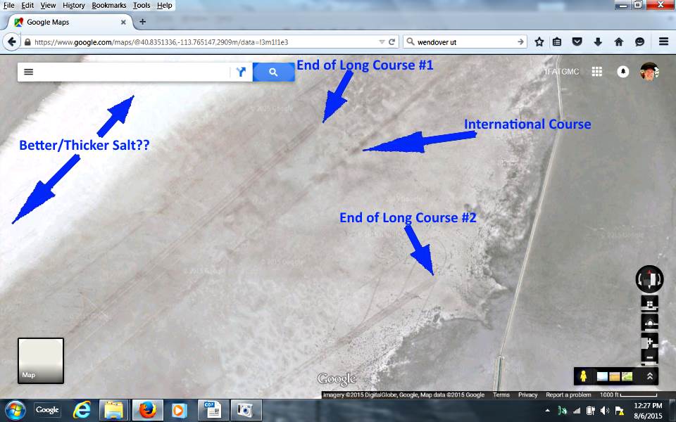
To me the salt looks like it might be better to the west of the two courses but maybe the image isn't representative of what the actual conditions are. Not room over there for two course but I'd rather have one long course and longer lines than no long courses. Moving west might put the pits to the east side and maybe a short course past them or just to the east of them. Move the pits down near the start line would mean way less spectator viewing but there again if there was racing I feel that could suffer.
Another image...
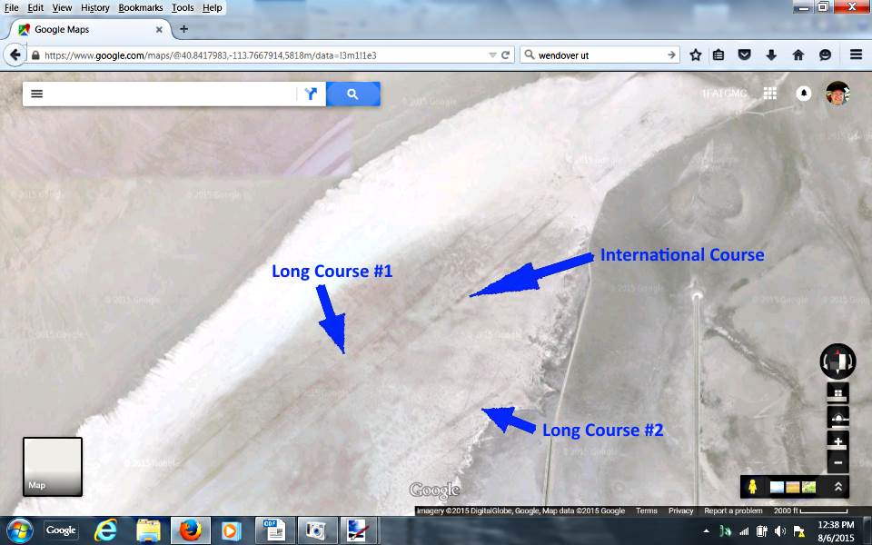
of the same area.
and ...
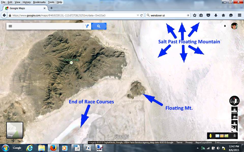
... the one above shows the end of the courses and the color of the salt vs. the salt on the other side of Floating Mountain (Island).
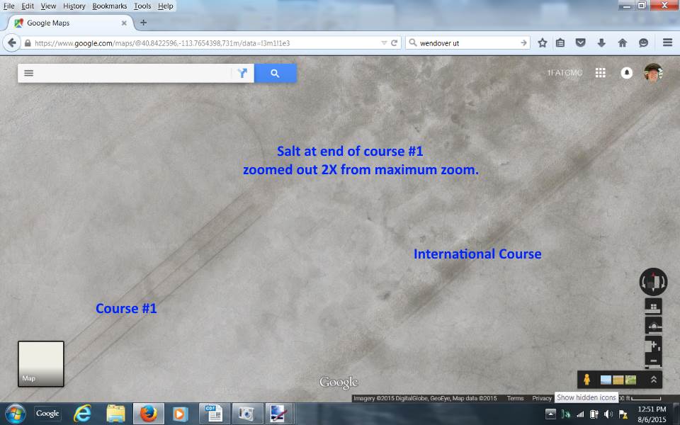
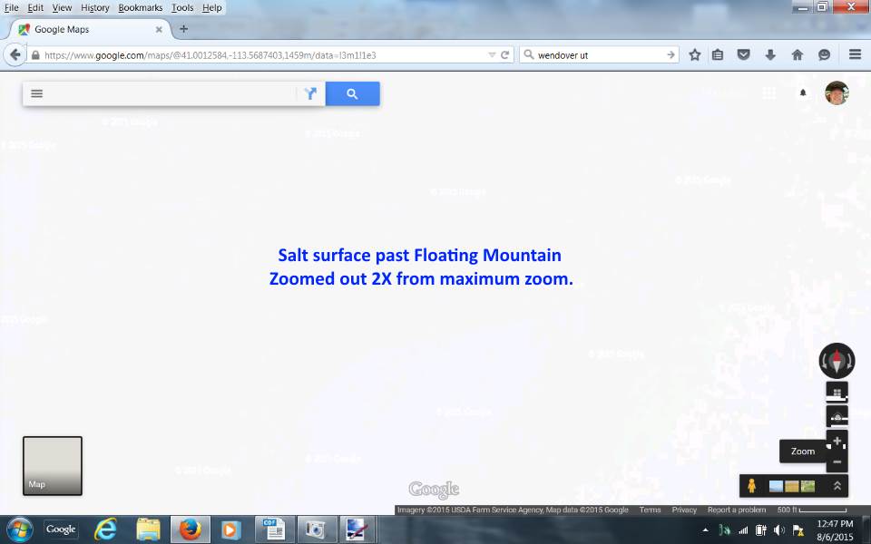
The following two are self-explanatory...
Maybe get Intrepid to pump from the other side of Floating Mt. to our side or else sooner or later we need to seriously look at that area since they will continue to have one study after another until they finally have the one that says, 'yep the salt is gone, can you imagine that',
Sum


